California's Gold Rush: A Highway 49 Driving Tour from Auburn to Placerville
Interested in being your own tour guide? I have over 20 published GPS audio tours with VoiceMap (Carmel, Monterey, California Gold Country, Folsom, Tahoe, Sacramento) and over 40 tours published with GPSmyCity (Carmel, Monterey, Big Sur, Folsom, Sacramento, Boston, Cinque Terre, Kotor Montenegro, Copenhagen, St. Petersburg, Helsinki, Stockholm, Estonia, Covadonga, Spain, Montserrat, Spain, Manresa, Spain, Loyola, Spain, Santiago de Compostela, Spain, Fatima, Portugal, San Sebastian Garabandal, Spain, Lourdes, France, Santarem, Portugal). Happy Adventures!

This blog follows my VoiceMap audio driving tour California's Gold Rush: A Highway 49 Driving Tour from Auburn to Placerville. As you drive along some of California's most peaceful backroads, we will share the history of the California Gold Rush and visit the towns of Auburn, Placerville and Coloma, where gold was first discovered in January 1848. To bring this story to life we weave in excerpts from miners' diaries.
You may download a souvenir brochure for this tour here. We have also created a companion brochure, Hiking and Walking Tours of the Gold Country. Download that here if you are interested.
If you are interested in this audio driving tour, it is available at VoiceMap and listed under Placer County. To use VoiceMap, you will need to download the VoiceMap app from the Apple Store or Google Play. The app is free, this audio driving tour, which is one of four that takes you along the Mother Lode from Auburn to Jamestown currently sells for $11.99.
Our drive from Auburn to Placerville takes us along the spectacular American River, where there are plenty of places to get out and explore. On this tour we will:
- Visit Marshall Gold Discovery State Park where gold was first discovered by James Marshall
- Learn how gold was mined
- Learn how miners traveled to California during the early years of the gold rush
- Explore Gold Bug Mine, an actual hard-rock mine from the late 1880's
- Take in the beauty of the peaceful, untouched backroads of California
- Hike along the Gerle Loop trail at Magnolia Ranch
- Hike to the Black Hole of Calcutta Falls
- Do a little wine tasting
This driving tour covers about 32 miles of highway and can be completed in about 2 hours without any stops. On the other hand, this is your adventure. You may stop where you want, when you want, and for as long as you want. Or just use this guide to create your own trip. Happy Adventures and enjoy the tour!
+++

Valero Gas Station 1650 Lincoln Way, Auburn

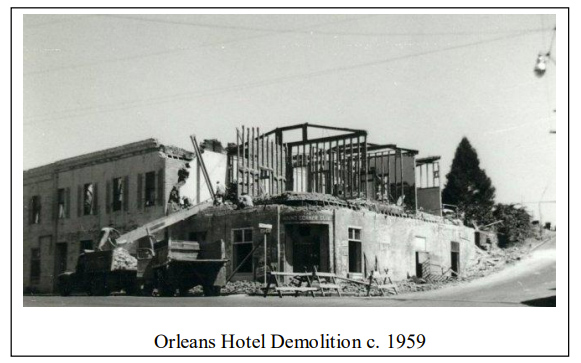

Orleans Hotel - Auburn 1939
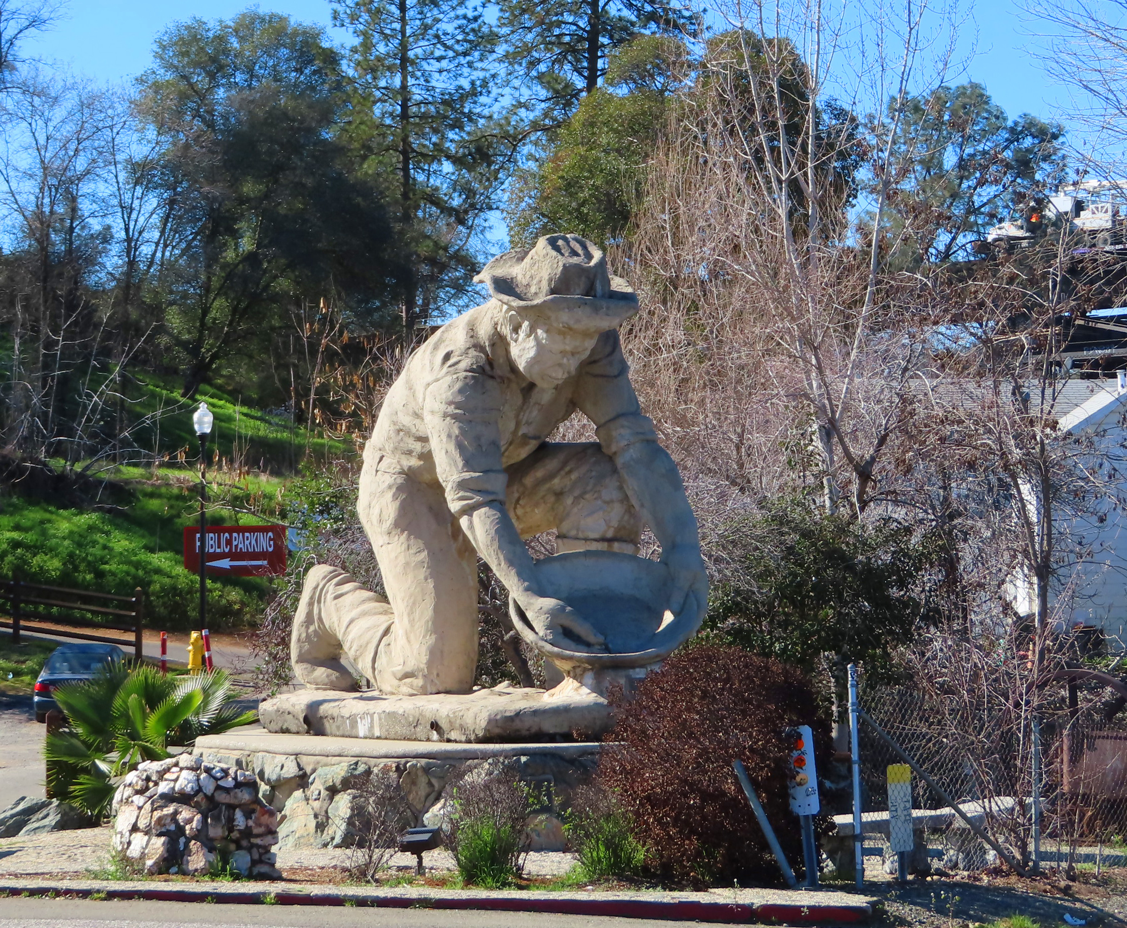
Now look directly across the street, you should see the large statue of a gold prospector. To the left of the statue is a public restroom located in a brown western style building.

Founded on an initial gold strike that quickly attracted miners, saloonkeepers, merchants, and gamblers, Auburn was much like any other early mining camp. But whereas other towns were quickly abandoned after the easy placer gold played out, Auburn maintained its population and continued to grow becoming the Placer County seat in 1851. In 1865 the Central Pacific Railroad’s western leg of the First Transcontinental Railroad, reached town.
Claude Chana, a French emigrant, was the first to find gold in Auburn. His gold strike in May of 1848 was about a quarter mile south of Old Town, on the Auburn Ravine. Though Claude quickly moved on to stake his claim elsewhere, his likeness remained behind in the form of the 45-ton concrete statue in front of you. Auburn dentist Ken Fox created this piece of art in the 1970s out of rebar, wire mesh and cement.


Alright let's get going. Use caution and exit the Valero station. Turn left onto Lincoln Way and make an immediate left onto Commercial Street and head up the hill.

At the yield veer right onto Maple Street. Built in 1855 the Victorian buildings on your right at one time served as a hospital.

Ahead and to your right watch for the dome of the Auburn Courthouse.
 At the traffic signal use the right lane to turn right onto Lincoln Way. On your right watch for the Classic Revival style courthouse. Built in 1898, this courthouse operates as an active Superior Court and is the Placer county seat.
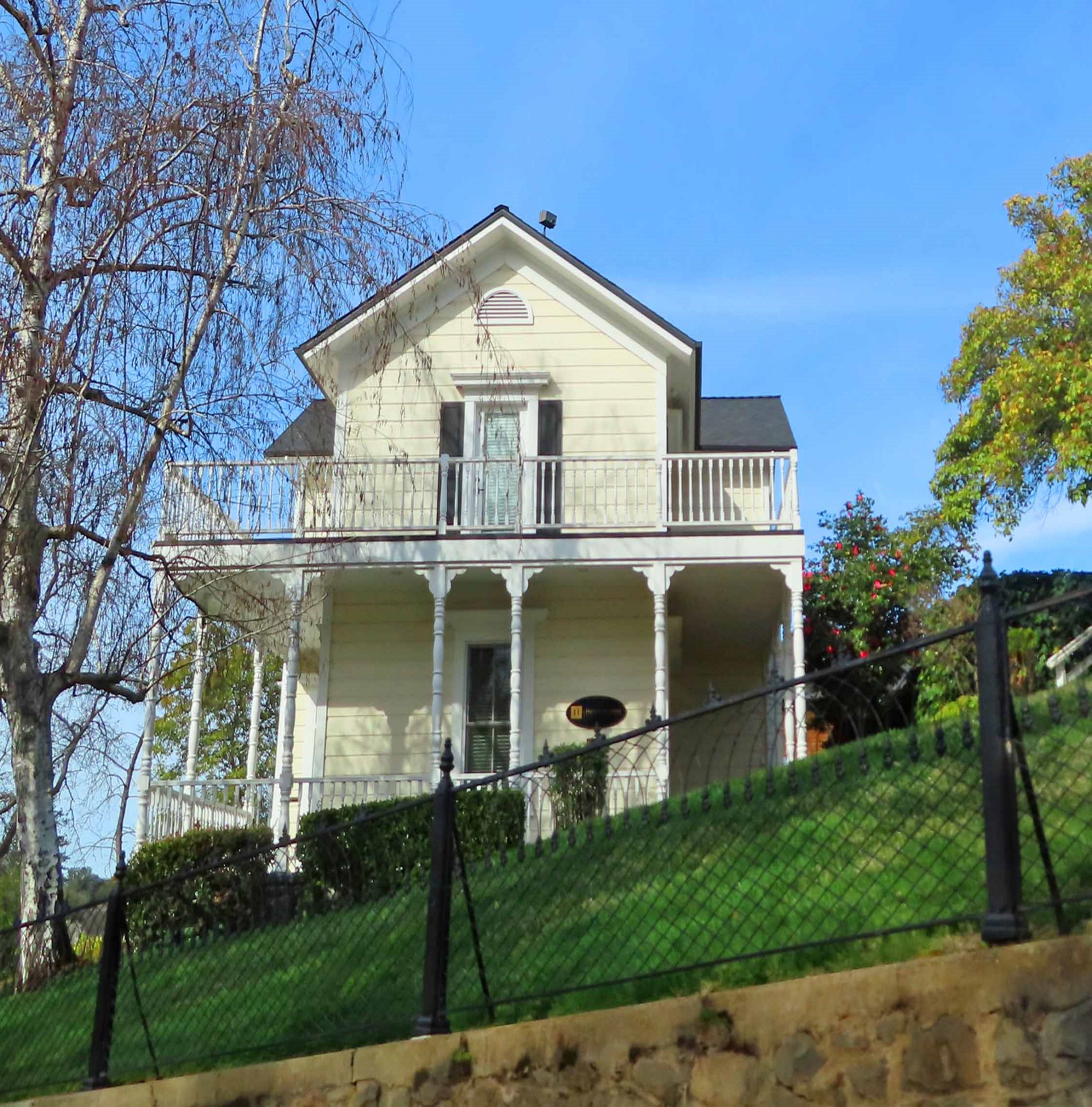

picture c. 1950s
Chinatown consisted of a hotel, general store, bakery, blacksmith and Chinese laundry during the gold rush, today you will find breweries and restaurants. The Brewery Auburn Alehouse Restaurant at 289 Washington has a long history. After the fire of June 1855 swept through the Auburn Ravine, consuming 80 structures in its path, including the Empire Hotel, Orleans Hotel, and livery stable, the American Hotel would rise from the ashes at this location on Washington. It would become the future home to both the Shanghai Restaurant (shown above) and the Auburn Alehouse (shown below). In 1896, the Yue family opened the Shanghai Restaurant. This restaurant was run by the Yue family for over 100 years. In 2005 it closed and in 2007 the Brewery Auburn Alehouse opened in its place.


At the traffic signal, use the left turn lane to turn left on to Auburn Folsom Road. We are on our way to East Auburn, a section of town that grew up around the Auburn Railway Station in 1865.

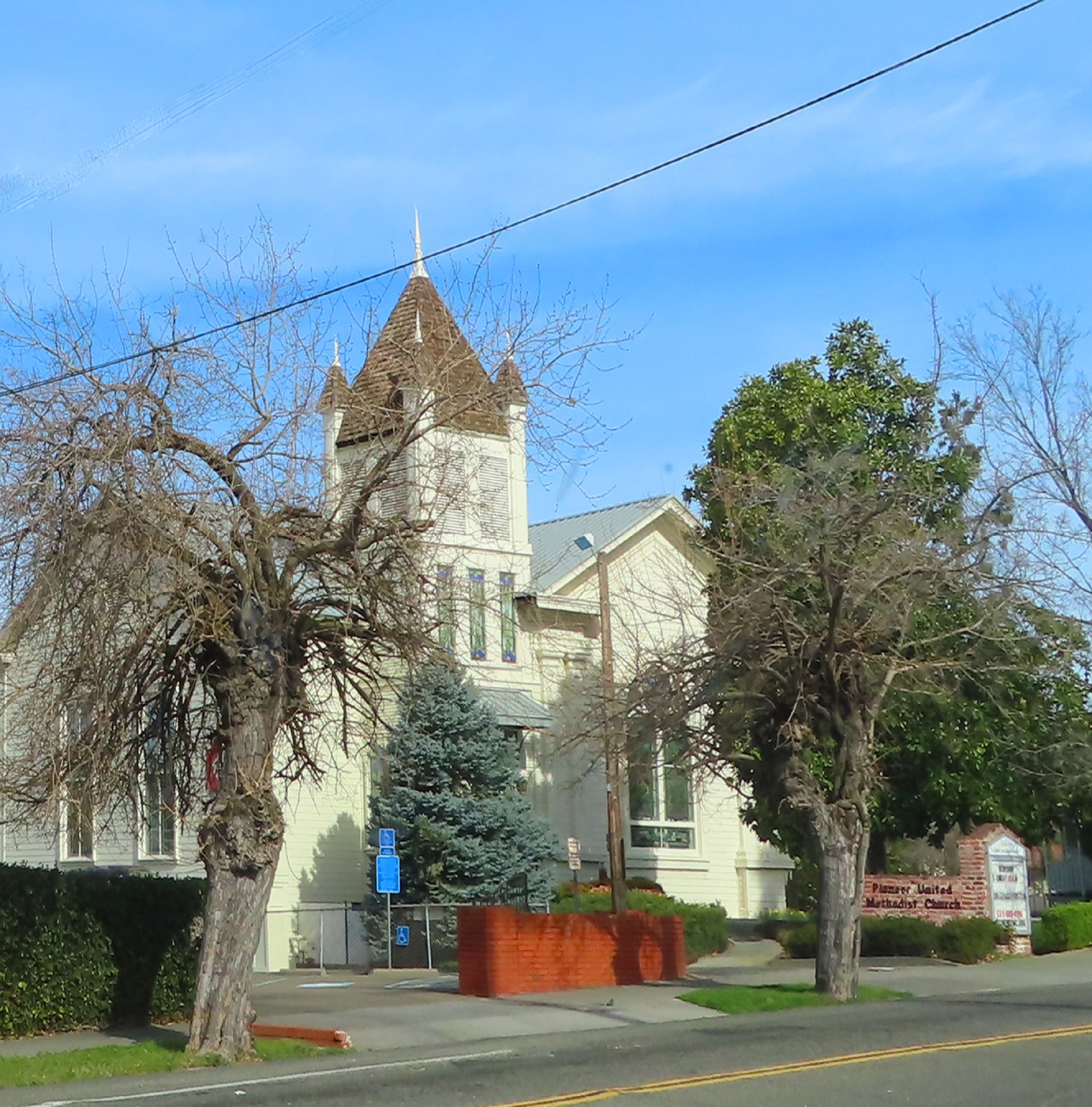


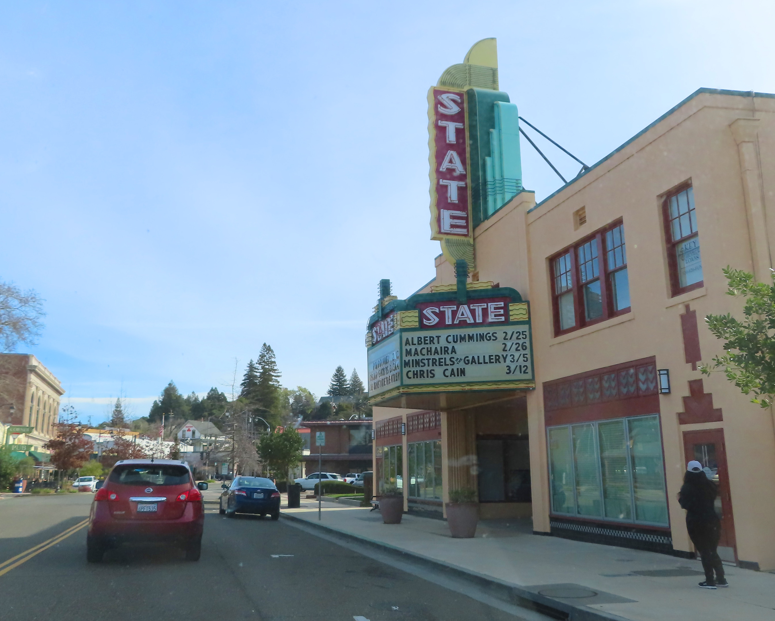
Continue straight past St. Joseph Catholic Church which was built in 1911, and the art deco style State Theatre built in 1930, to Center Square.

Corner near Center Square
Use the right lane ahead to turn right at the traffic signal by the clock tower onto Lincoln Way.

At the turn of the 20th Century, businesses relocated to this block from Old Town to be closer to the train station.

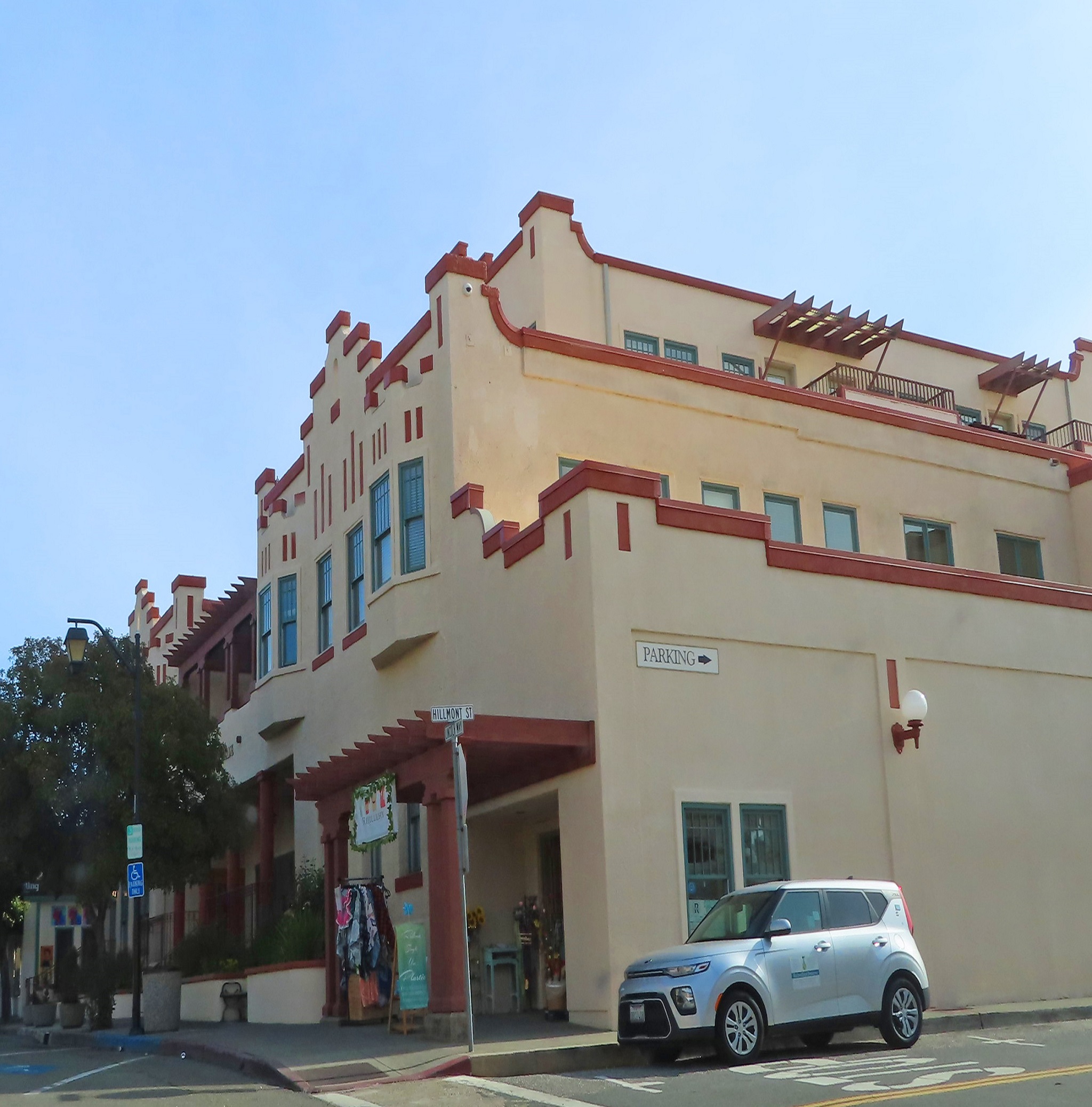
Two architectural standouts in this western-style town are the Beaux Arts style Placer County Bank building on your left built in 1913.


This was the location of the Auburn railway station which opened in 1865. Built by the Central Pacific Railroad Company of California, it was part of the 690-mile route from Sacramento to Utah Territory.

In 1869, when Leland Stanford ceremonially tapped in the “Golden Spike” at Promontory Summit this railroad line became part of North America’s first transcontinental railroad, 1,911 continuous miles of railroad constructed between 1863 and 1869 that connected San Francisco to Council Bluffs, Iowa.

The Champagne Photo (Golden Spike / May 10, 1869 by Andrew J. Russell)
Today this is the site of the Gold Rush Museum. This museum is free and open Friday through Sunday from 1 to 4pm. Even if you arrive when the museum is closed there are quite a few artifacts and informational plaques to see on the surrounding grounds.

Check out the Bell Tower, which was originally built in 1889, it was placed here in 1902. It was used to alert the volunteer firefighters to muster with buckets and shovels to fight a fire in town.

Explore the area around the large cement statue called “The Chinese Coolie” which was created by Auburn dentist Ken Fox, the same artist who created "The Gold Prospector" we saw at the beginning of our tour. Created in 1972, this statue stood outside the doctors dental practice for years before it was moved here in 1989.


Once you have explored the area exit the parking lot and turn right back onto Lincoln Way. At the second stop sign, turn right onto El Dorado.


Continue along Highway 49, the north-south thoroughfare which passes through many of the historic gold rush communities that line the Mother Lode, the principal vein of hard-rock gold deposits in California.


For the next mile you may notice cars parked off the highway to your right. These are the locations of various trailheads in Auburn State Recreation Area.
During the second half of the 1800's this area was crowded with hard-living gold miners. Today this park, located along the two forks of the American River, offers a wide variety of recreation opportunities such as boating, fishing, gold panning and river rafting. There are also 100 miles of mountain biking, hiking and equestrian trails that wind through the steep American River Canyon. We will be stopping at one of the trails, the Black Hole of Calcutta Trailhead shortly for a hike. This is a very popular hike and the free parking fills up early in the day.


The Black Hole of Calcutta trail is 2 miles out and back. Picturesque and mostly level, this hike takes you alongside the North Fork of the American River along an old railroad bed and bridge for the Mountain Quarries Railroad. This is one of the numerous hiking trails that make up the Auburn State Recreation Area.


Mountain Quarries Railroad


Thousands of years ago, this area was inhabited by the Nisenan native people. Living between the Sacramento River and the Sierra Mountains in dome-shaped homes that were typically built of a combination of tule, earth and wooden poles, these Native American's lived in villages made up of extended family groups, with their own unique language, religion, and culture.

This area offered the Nisenan year-round food sources, whether it be through hunting, gathering, or fishing. Their most abundant source of food came from the acorn of the oak tree. In the fall acorns were harvested and stored in a granary where they would be used year-round to make a mush which was one of their staples.

Men typically were the ones to hunt for wild game. Deer, elk and rabbits were hunted in the open while bears were hunted during the winter months when they were hibernating. Fishing was also popular in regions close to rivers. Freshwater fish like salmon, sturgeon, and trout were among the most popular.

(2 pictures above taken at Chaw'se Museum Indian
Grinding Rock State Park visited on the 3rd tour in this series)
The Nisenan were initially unaffected by the European-American expeditions in the early nineteenth century. And though some Native Americans initially engaged in mining activities during the gold rush, the native population dropped precipitously from approximately 9,000 to 2,500 by 1895 as the mining and other commercial activities led to the appropriation of their land, and decimation of their food sources.


John Sutter (c. 1850)
Swiss immigrant John Sutter (1803 - 1880) established Sutter’s Fort near what would become Sacramento in 1841. His original intention was to establish an agriculture and trading community called New Helvetia. Short on lumber for this new village, Sutter hired American carpenter John Marshall in 1847 to head the construction of his water-powered sawmill on the South Fork of the American River, about 50 miles from Sacramento.

Illustration of Sutter's Fort 1840s
It was an icy cold morning on January 24th, 1848. Marshall and his crew were up early managing the millrace, the current of water that turns the water wheel and powers the sawmill. As Marshall cleared a deeper channel under the waterwheel, he noticed yellow flakes in the bedrock under the mill.

Sutter's Mill 1850
Marshall shared his findings with Sutter who determined the flakes were indeed gold. At first, they attempted to keep their discovery secret. But on March 15th, 1848, the headline of the Californian newspaper read “Gold Mine Found.” And word was out.

Californian March 15, 1848
As the news spread, so did gold fever, unleashing what historians consider is the largest migration in United States history. Approximately 300,000 migrants from around the world, known collectively as 49ers, descended on California on the eve of its statehood in 1850.
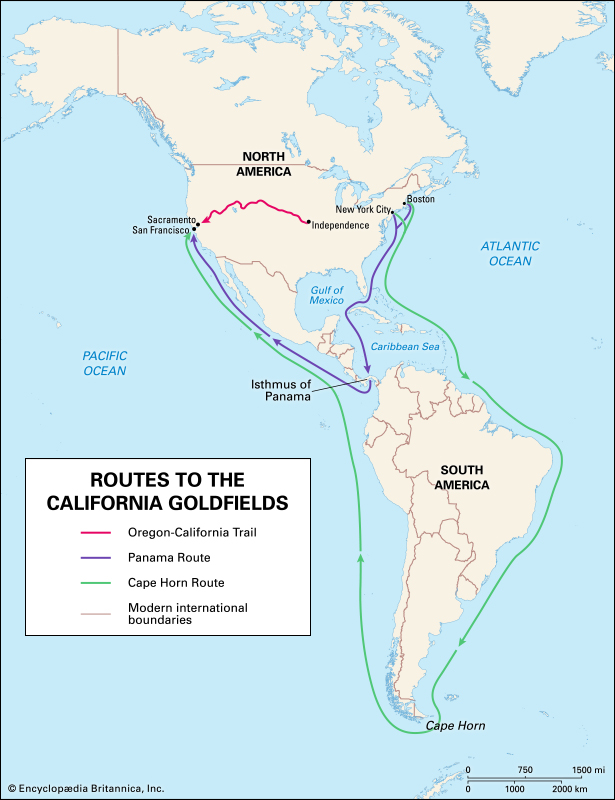
49ers came by covered wagons, ship, mule or foot. Those that came from the eastern states had two optional sea routes. The 17,000 mile voyage around South America that took at least five months, or a 5,350 mile trip through the Isthmus of Panama.
John Doble, who left behind a very detailed journal chronicling his daily life during the gold rush from 1851 to 1861, took the Panama route. He left his home in Indiana with only a carpet bag of belongings on October 27, 1851, and arrived in San Francisco 68 days later.
Here is a synopsis excerpted from John's journal of the first part of his journey.
“Arrived at Buffalo in time for the 8 o'clock train to Albany. From Albany took the Splendid Steamer Isaac Newton to New York. I paid .50 cents for a berth and arrived November 14.”
“Checked out the Daniel Webster that had arrived last night. A number of us found it suitable and booked passage to San Francisco. The cost, $180 for a berth near the gangway and $135 for transportation across the Isthmus. All payable in advance."
_01.jpg)
“The Webster left November 22nd. We sailed at exactly 3 o'clock. Winds strong and cool from the west. The vessel rocked and shook, but I managed to escape the journey without sickness. Steerage was very much crowded, passengers who found it disagreeable sleeping below deck slept on the upper decks which was very pleasant. We made land on the 10th day out and anchored in Greytown Bay 2 days later.”

“After a few days we landed at El Castillo. I bought bread for $1 a pound and ham for .50 cents a pound. We set off again, this time on a steamer. Here the river widened and emptied into Lake Nicaragua which we crossed without issue, and readied to begin our land journey.”
“After breakfast the Native Buckaroos arrived with their mules. Each passenger was allowed one mule. The roads were bad, the top dry enough to walk on but not enough to support a mule. I found I could have got along better without the mule. At the summit some enterprising Yankee’s had built a canvas house where we procured refreshments. I paid .10 cents for coffee. Bread, and meat $1 per pound.”

Crossing the Panama by Bungo
“I led my mule down the summit most of the way. It took two days to get across the land which is only 12 miles across. At San Juan Del Sud we boarded the Steamer Gold Hunter and steamed up the coast, stopping many days at Realajo, Guatimala.”

Ships at the San Francisco Waterfront 1855


Continue along the highway and enjoy your view of roaming cattle and horses along this peaceful stretch of road.


While you drive, we will tell you a bit about the two methods of gold mining commonly used during the gold rush, lode which is also known as hard-rock, and placer mining.

Sluice Box drawing by Henry Sandham (1883)

Rocker drawing by Henry Sandham (1883)
To work a placer mine, all miners had to do was simply stake their claim and start panning for gold. The gold nuggets they found loose in the stream were called placer gold. Once these “easy pickings,” dried up, miners used other methods to go deeper into the top layers of dirt using a long Tom or sluice box.
The sluice box was set at a slight downhill tilt, miners then shoveled dirt into the box, ran water over the top and with any luck there would be gold left behind in the box.

Hydraulic Mining Drawing by Henry Sandham (1883)
Another method used was called hydraulic mining. One of the cheapest methods of recovering gold, the process entailed directing a highly pressurized stream of water at hillsides. This washed soil, land and gravel down through a series of sluices that separated the gold. Though productive in exposing gold, this method was outlawed in 1884 as it was very destructive to the environment, washing tons of mud away from hillsides and leading to severe erosion.
Yet if there was any gold left in them thar hills, miners were going to find a way to get it. Bucket line dredgers, popular starting in 1898, consisted of conveyor belts lined with large buckets. As these systems floated along rivers the conveyor belt rotated the buckets along the river bottom, dredging or grabbing up loads of dirt. These loads were deposited into a container behind the dredger where the materials were sorted for gold.


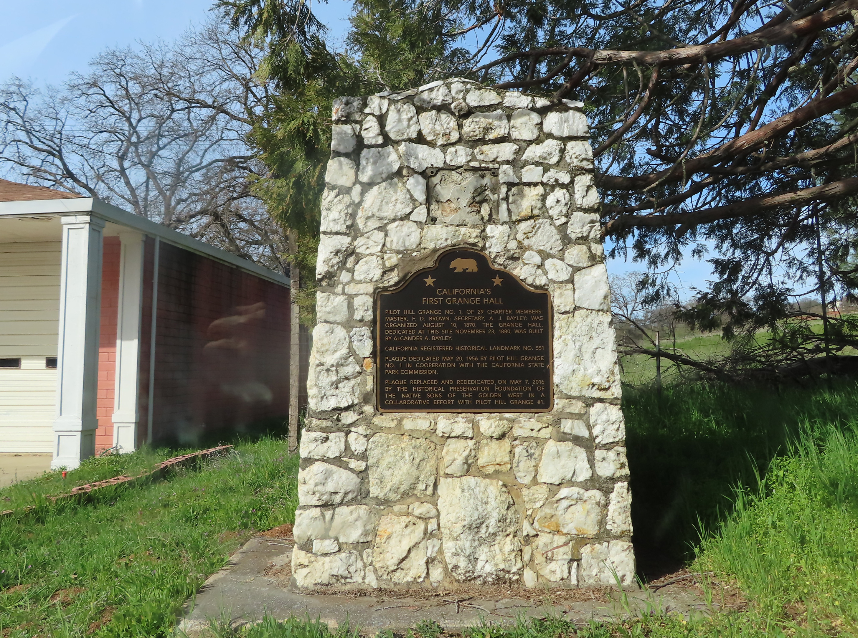
If you are ready to continue with this driving tour exit the parking lot and turn left and pass the Grange and blacksmith shop. Follow the highway to the right through the town of Coloma. This town was built around Sutter's Mill on the site of a Nisenan village. The name Coloma comes from the Nisenan word, Cullumah which means beautiful.


Watch for the Marshall Monument sign coming up on your right. Follow the sign and turn right onto Monument Road. We are on our way to visit the Marshall Monument which is James Marshall's burial site.

James Marshall (1810 – 1885)

Continue past the parking area and follow the sign that points right to Marshall Monument. Turn right onto the narrow one-way road. This road circles around the Marshall Monument.


This narrow road will switch back and forth a number of times as we make our way to a replica of James Marshall's cabin ahead, so please use caution.


While you drive, we will continue with John Doble's story. We left off when he arrived in San Francisco January 2, 1852.
John spent just a few days in San Francisco. The following excerpts are of synopsis of his experience.

“We landed at the Pacific Wharf and our first care was to find a house to get dinner and leave our trunks. We then went and got shaved and our hair cut. Cap and me paid .25 cents for a shave and .50 cents for a haircut. I then went out to hunt for my brother Abner who I had not seen for better than two years. I found him a work in his shop in the City on California Street between Kearney and Montgomery. I will leave to those similarly situated to imagine our joy at again meeting each other for I can’t describe it.”

“We went to supper at the Philadelphi house and after took a walk over the City and visited all the gaming house along Clay Street. That night I found little sleep as the vermin were too abundant.”
“The next day, I returned to Abner’s, our conversation was of home to which I never grow tired. That evening we visited all the Dance houses on Pacific Street, which were all crowded.”

“After availing ourselves to all San Francisco had to offer, it was time for Cap and me to prepare for the mines. We visited several auction rooms and purchased a pair of blankets, two heavy woolen shirts, a knife with leather scabbard and other necessities. At the goods store I bought heavy double soled knee boots at $2.50 a pair. I also purchased English cheese at .17 cents, potatoes 1 ¾ cents a pound and bottled ale $2.50 per dozen. The next day Cap and me would set out for the mines.”


The Luse Ditch and Red Shack Trail is a 2 1/2 mile out and back hike which crosses the historic Luse Ditch and ends at the South Fork of the American River. A map of the hike is shown above, or check out our Companion Brochure.


Head back out on the highway, our next stop is Gold Bug Mine. Located on the outskirts of Placerville, this mine is just 10 miles south of Coloma. By late 1848, the Big Canyon Creek nearby was running rich with gold. Tents lined the stream; stakes were claimed, and prospectors easily plucked their fortunes in gold. But as with most placer panning operations, this too ran out and miners turned to lode or hard rock mining.


Using picks and shovels miners followed the drift of the thin dark orange veins running through the white quartz. Following the drift required digging a hole in the side of a mountain. After the first vein played out quickly a larger vein was discovered across the canyon and a new hole dug in 1888. This became the Hattie Mine, opened by William Craddock and named after his daughter Hattie. However it too played out and in 1926, John McKay took over the mine and followed a new drift at a right angle deep into the ground. This mine would ultimately became the Gold Bug Mine.

Most of the hard-rock mining in Gold Bug Mine happened during the 1920s and 30s not during the gold rush. Though some of the richest deposits of gold were found here, it is not known how much gold was actually removed from this mine, as no records were kept.

In 1965, the City of Placerville acquired the Gold Bug Mine property from the Bureau of Land Management and developed it into a park.
Turn right into the entrance to Gold Bug Mine and park near the Museum Store. Parking here is free, but a ticket for an audio self-guided tour of the mine, as well as entrance to the stamp mill and blacksmith may be purchased in the Museum Store. There are several informational plaques and gold mining artifacts scattered throughout the park.


Placerville, also known as Dry Diggings or Hangtown, is just eight miles from Coloma where gold was discovered. It began as a mining camp in a narrow ravine with a seasonal creek. The town prospered quickly and then continued to thrive as businesses shifted from gold mining, to agriculture and logging.
This marks the end of our driving tour. We hope you have enjoyed your drive through California’s gold country from Auburn to Placerville and all the stops in-between.
If you are interested in taking a self-guided walking tour of Old Town Placerville you may find a map in our companion brochure Hiking and Walking Tours of the Gold Country.
Until next time, Happy Adventures!
Ships at the San Francisco Waterfront 1855 - Boomtime San Francisco
Hydraulic Mining by Henry Sandham - Library of Congress
Comments
Post a Comment